01 / 04ObjectsCartography / Terrain Visualisation / Print Design2026
Topographic Prints
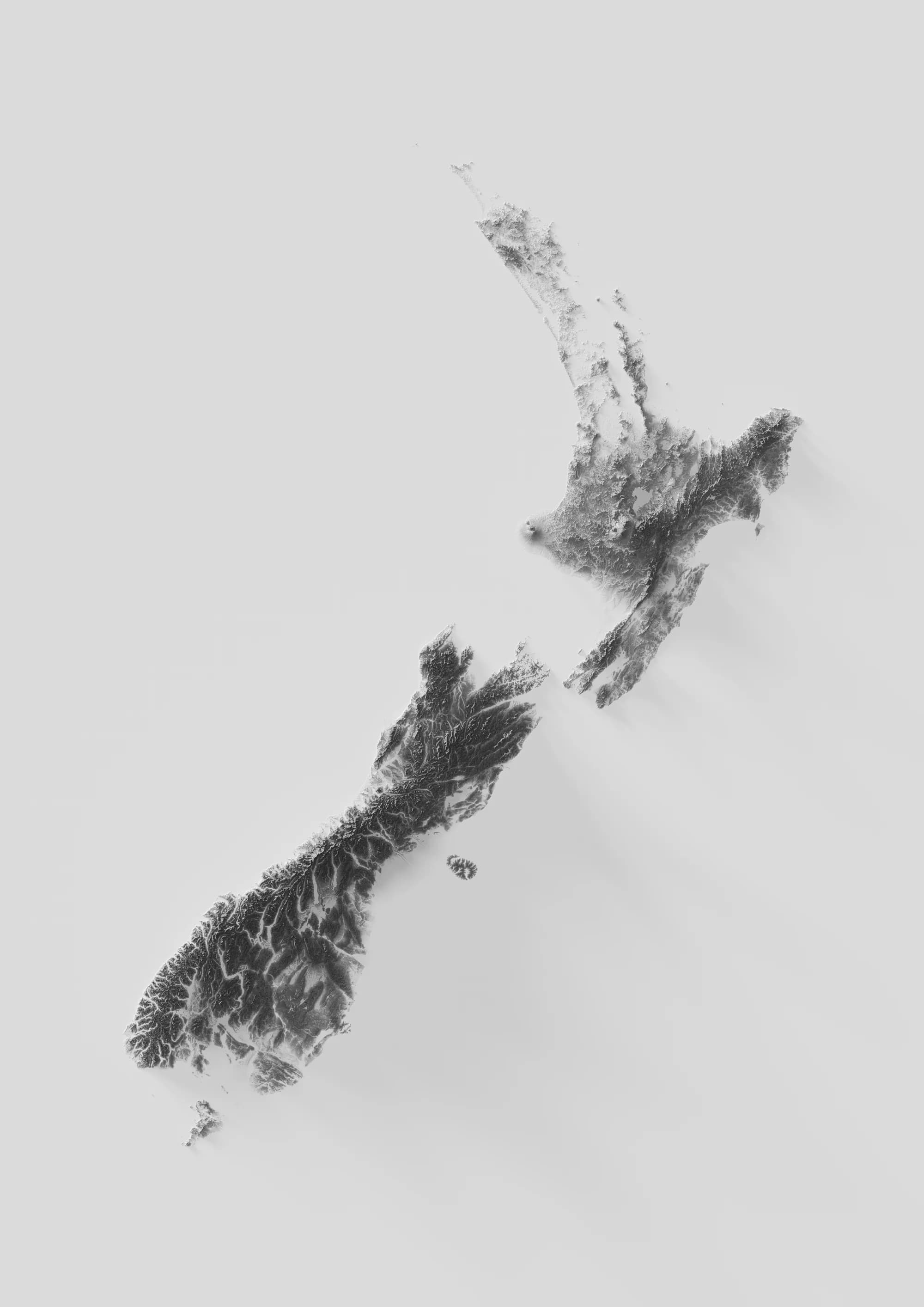
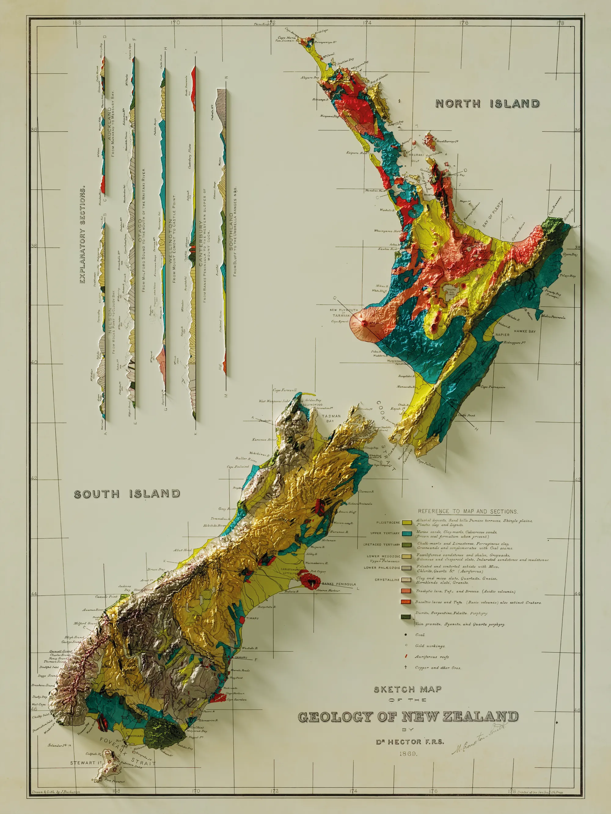
Shaded relief prints of New Zealand terrain, made from public LINZ elevation data and rendered in Blender. Sixteen plates, plus an 1880 geological map rebuilt over real terrain. On sale through Art Collective.
QGISBlenderLINZ Data Service
Made objectOngoing
- Organisation
- Role
- Year
- Kind
- Sector
- Location
- Status
What it is
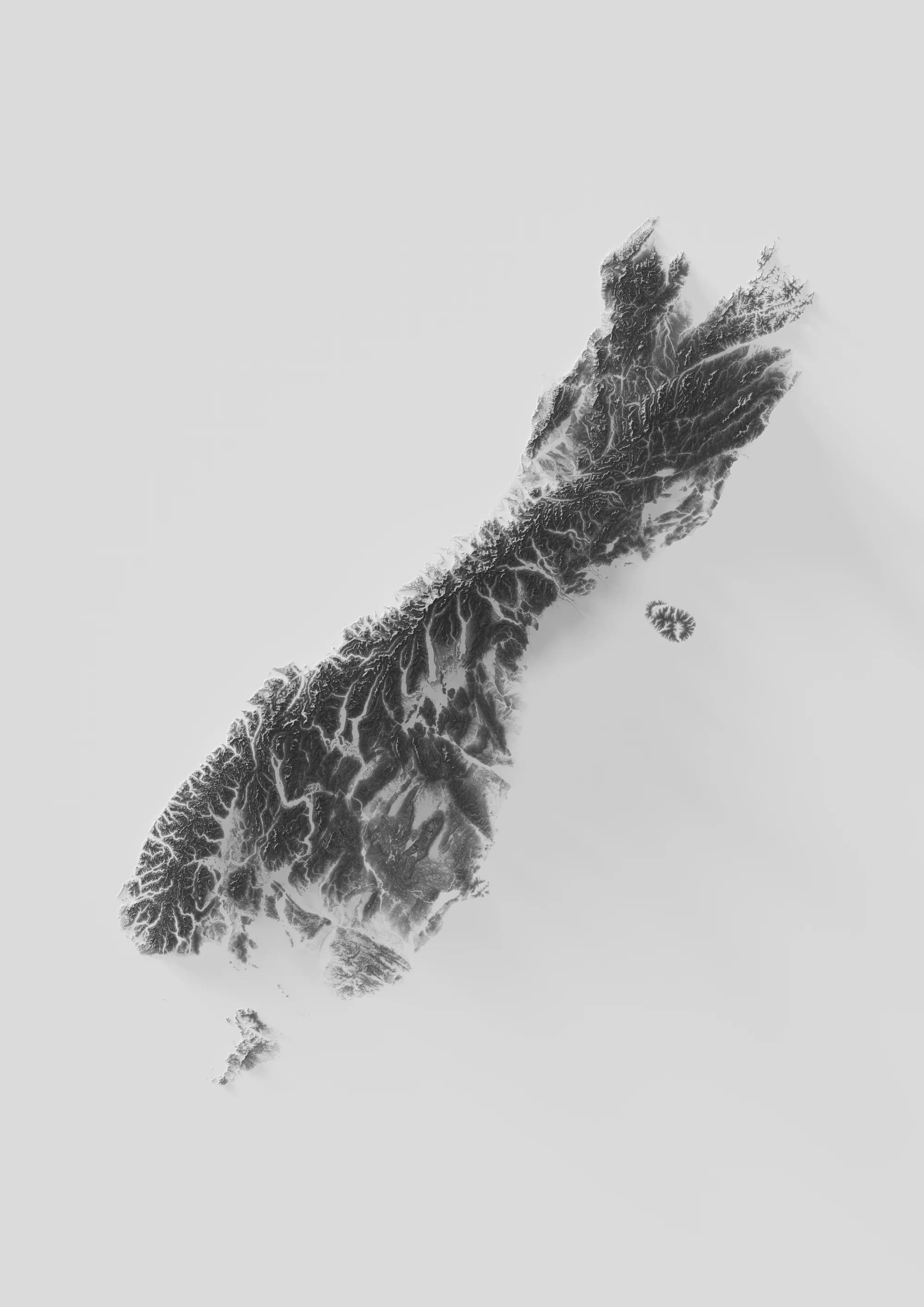
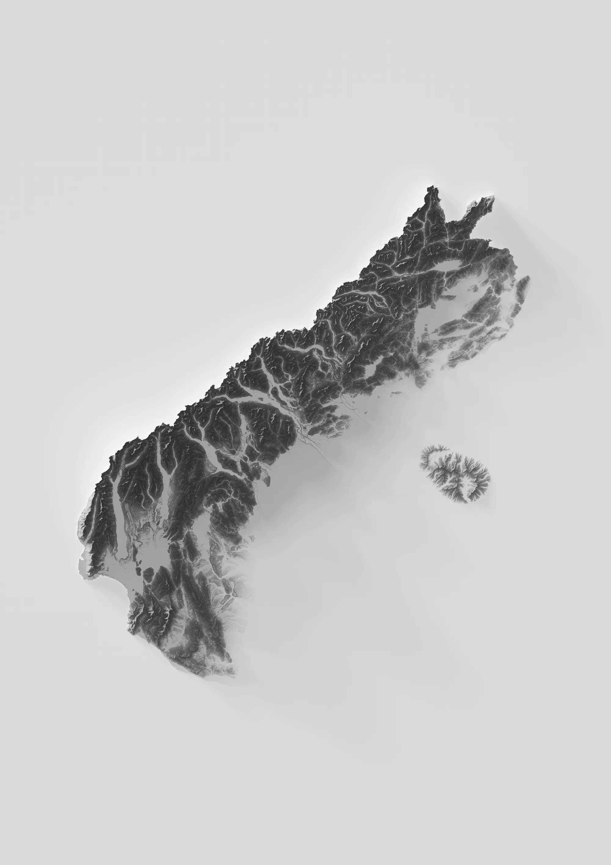
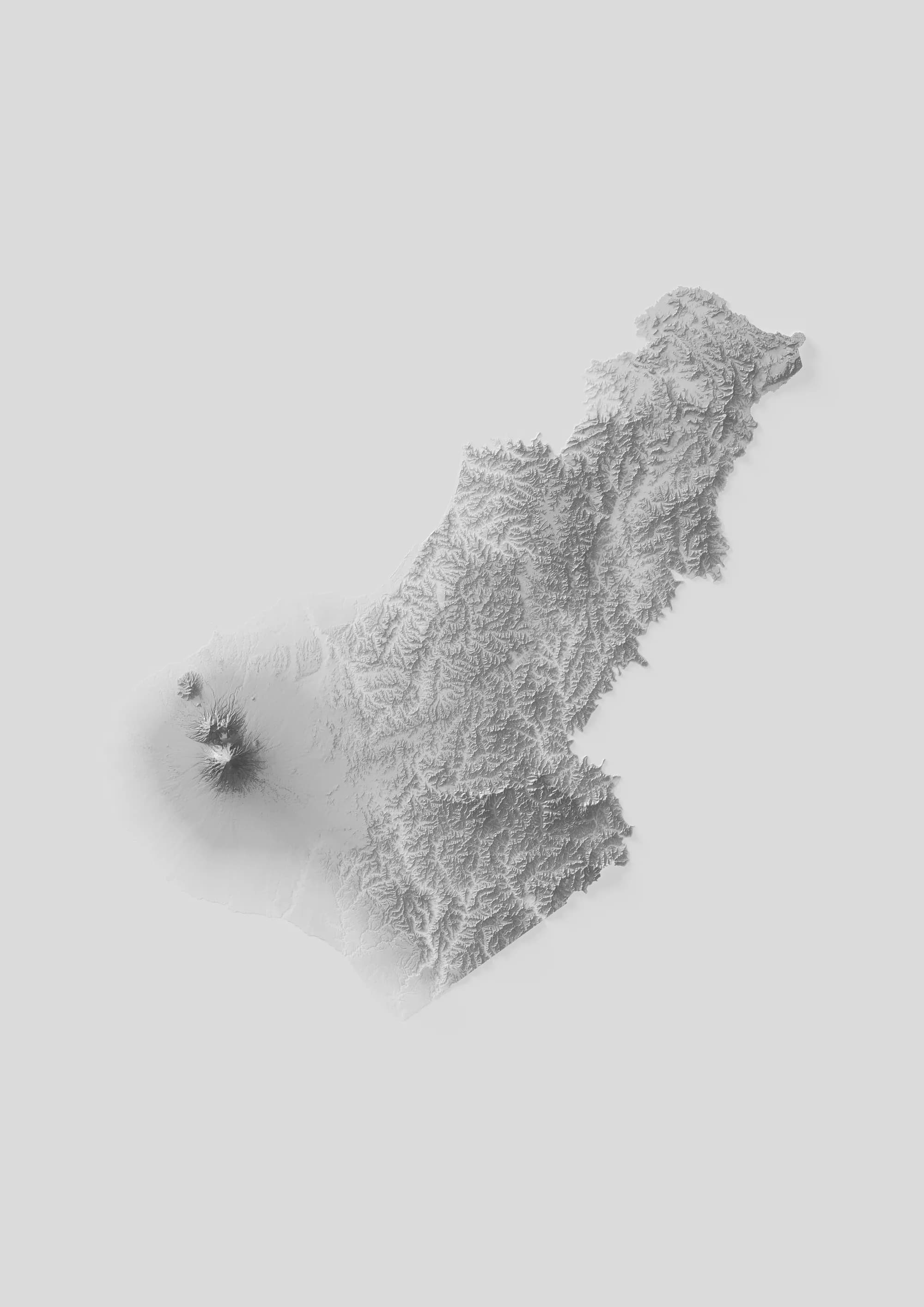
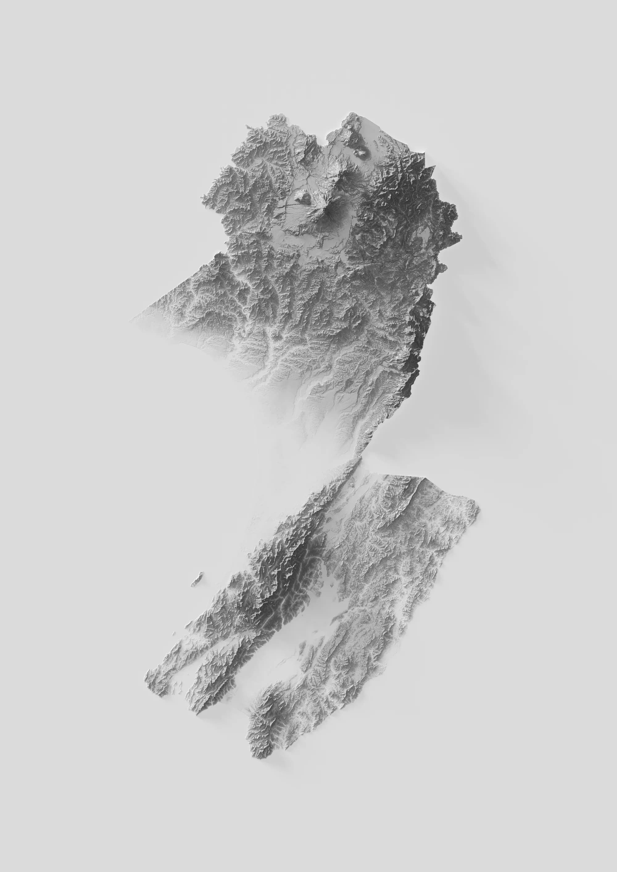
A set of shaded relief prints. Each plate is greyscale, the landmass floating on a pale field with a soft shadow beneath it. No coastline stroke, no labels, no roads, no graticule. The only thing carrying the form is the relief, so the reading is entirely elevation: the Southern Alps running the length of the South Island, the volcanic cones of Taranaki and the central North Island, the drowned valleys of the Marlborough Sounds.
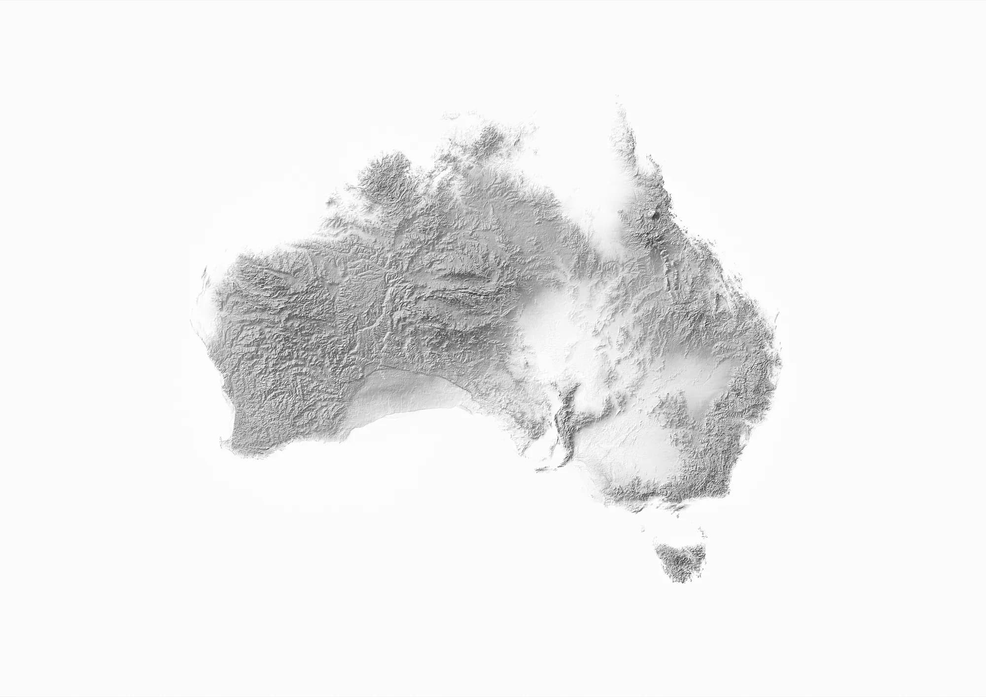
The set covers New Zealand at three scales, the country, the two main islands, and twelve regions, being Canterbury, Gisborne, Hawkes Bay, Marlborough, Nelson, Northland, Otago, South Auckland, Southland, Taranaki, Wellington and Westland. One further plate covers Australia.
The topographic plates are all ISO A proportion, so they print at any A size.
One plate works the other way round. It takes an 1880 sketch map of the geology of New Zealand and lays the original drawing over an elevation model, so the hand-drawn geological units, the marginal cross sections and the original border stay flat and intact while the two islands lift into real terrain. The historical colouring is exactly as drawn; the relief underneath is modern data.
How it was made
Elevation data comes from the publicly available LINZ Data Service, prepared in QGIS and rendered in Blender.
Rendering rather than using a GIS hillshade is what gives the set its look. A hillshade applies a shading algorithm to a raster; a render puts a real light on real geometry, so what falls across the Southern Alps is a cast shadow with an actual light angle behind it. The elevation model is the mesh, and the rest is lighting.
Where to buy
The prints are on sale through Art Collective.
Tools and disciplines
- Built with
QGISBlenderLINZ Data Service
- Discipline
CartographyTerrain VisualisationPrint Design